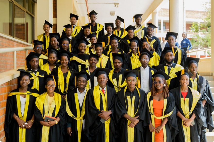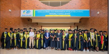


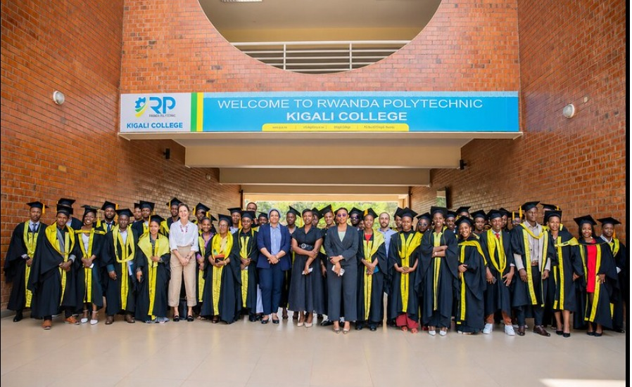
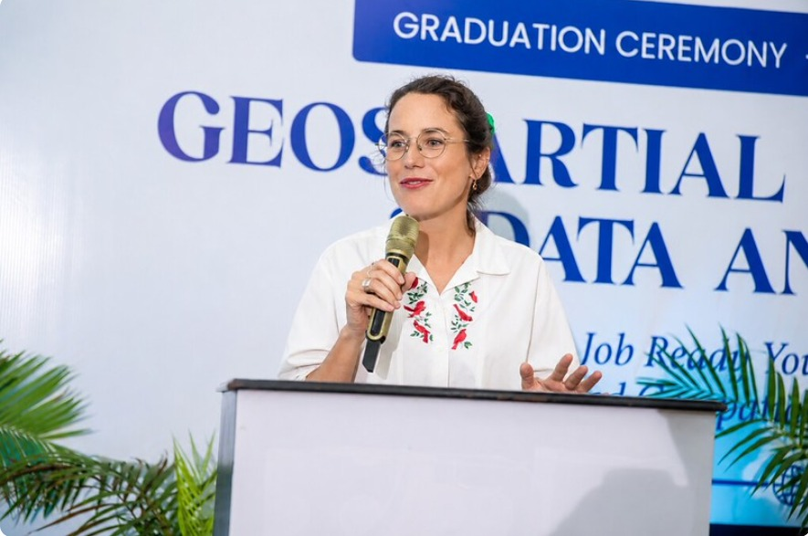
Forty young people have completed training in geospatial technology, which involves digital mapping and location-based information. The graduates expressed readiness to apply their newly acquired skills in the job market.

ALSO READ: Major Changes in Obtaining a Driving Permit in Rwanda
Training Program
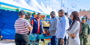
The six-month training program concluded on June 12, 2026, at RP Kigali. During the closing ceremony, participants showcased projects developed using knowledge gained in Digital Mapping and Geospatial Skills.
The program was organized by Eco Mappers OSM Rwanda, in partnership with the Rwanda ICT Chamber, the International Labour Organization (ILO), and supported by Luxembourg Aid & Development. Its goal was to reduce youth unemployment and expand technological expertise.
ALSO READ: Manchester City Close to Financial Settlement With Chelsea to Appoint Enzo Maresca
Skills Acquired
Students were trained in Geographic Information Systems (GIS), urban planning, spatial data analysis, and digital cartography. The training not only enhanced their technical capacity but also opened pathways to internships and jobs in government, private companies, and NGOs.
Stakeholder Perspectives
Alex Ntale, CEO of the ICT Chamber, emphasized that geospatial technology is a rapidly growing sector that requires more attention: “Location-based technology is expanding quickly, yet often overlooked. Everyone in Rwanda uses applications or solutions linked to location, and their use is increasing daily.”
Rebecca Jeannette Nyinawumuntu, CEO of Eco Mappers, noted that the 40 graduates came from diverse fields including urban planning, agriculture, mining, finance, health, and data collection. She praised their commitment and revealed that some have already secured jobs.
The ILO highlighted that supporting this program aligns with its mission to promote employment opportunities for youth. Charlotte Helminger, from the Luxembourg Embassy in Rwanda, explained that the initiative is part of the Innovate4DigiJobs Challenge, aimed at equipping youth with digital job skills: “This is one of the first visible results from the Innovate4DigiJobs Challenge, which we launched together with the ILO.”
Graduate Faustin Nsengiyumva shared how the training enriched his background in irrigation studies: “At university I studied irrigation, but I needed knowledge in geospatial data analysis to improve my project. Different regions have different climates, and now my project can assess temperature and weather before choosing crops to plant.”
The graduation ceremony was attended by representatives from government institutions, private sector partners, and technology stakeholders.